
|
Page 1 |
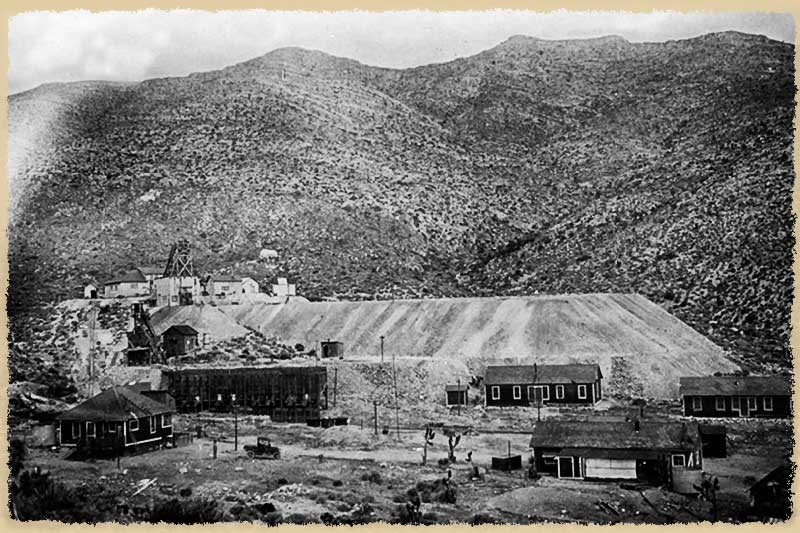
The Yellow Pine mine is located outside of Goodsprings Nevada and is the namesake of the mining district. A number of workings comprise the complex with the Yellow Pine and near by Prairie Flower being joined at the 900 level of the Yellow Pine. A number of minerals were extracted with lead and zinc being primary among them.
| This old image shows two of the hoists, a large ore
hopper, as well as a number of support buildings. It is always wonderful to find historic photographs of these old mines. |
 |
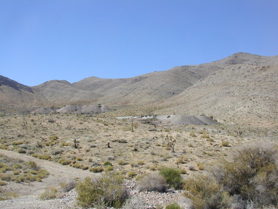
| Looking up the valley from the Prairie Flower to the #3
shaft on the right and the main workings on the left. |
 |
| A foundation for a large piece of equipment.Looking
closely at the
right side of the foundation shows where it was clearanced for a
flywheel. |
 |
| Maybe a large air compressor? A steam engine? It wasn't in line with where the collapsed shaft was fenced off so it probably wasn't a winch. | 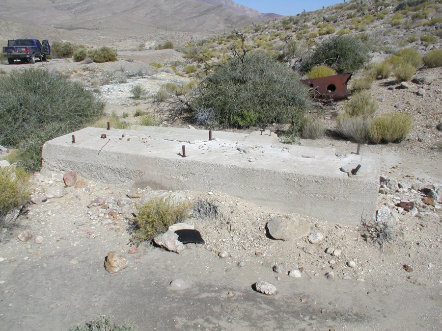 |
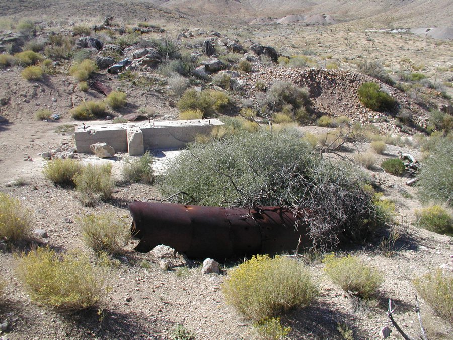
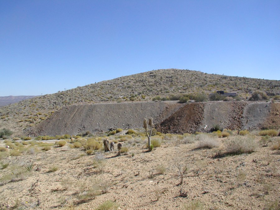
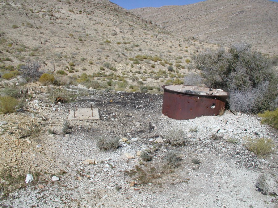
| These are the tailings of what we believe to have been
the Hale
shaft. We have not been able to confirm this but an old mine survey
seems to confirm that it is. |
 |
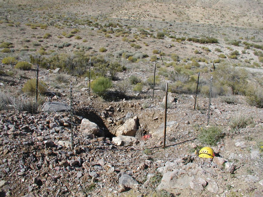
| Throughout the area are holes that need a bit of
exploration. We couldn't tell whether this was a manway or an air shaft. |
 |
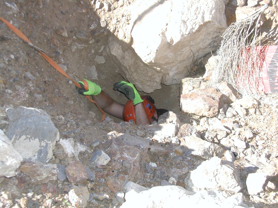
| Tony was able to make his way down the hole but found
it was
blocked just a ways in. Always wonder what is on the other side of the
blockage. It won't be long before this opening in completely blocked. |
|
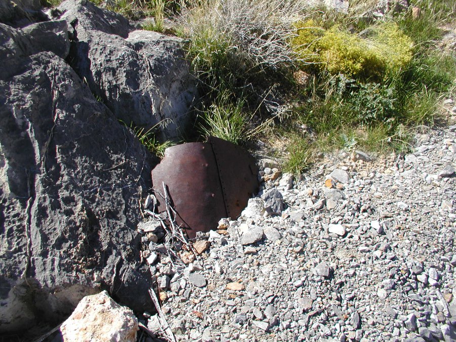
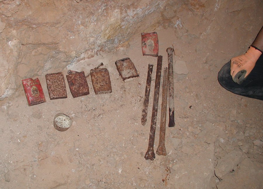
| All of the metal bits are riveted which would be
expected of a mine working in the early 1900s. |
 |
| This is the north most shaft of the Yellow Pine. Often mis-identified as the Hale Shaft, this is actually the Yellow Pine #3 shaft. | 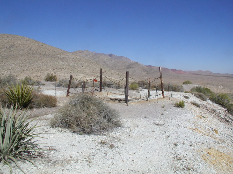 |
| This was a significant shaft that extended down to the
900 level. The wooden structure has collapsed into the shaft. Tony rappelled down finding a blockage at about 100 feet and another impassible blockage at around 200 feet. When we explored the 900 level of the mine we found that the drift leading to this shaft was completely collapsed and impassible. I really wanted to stand at the bottom of this shaft. |
 |
| We suspect this is the foundation for the winch. It is directly in line with the #3 shaft and has the square outline of what looks to be the building that housed the winch. I have not been able to find any historical pictures of this shaft so it is all speculation. | 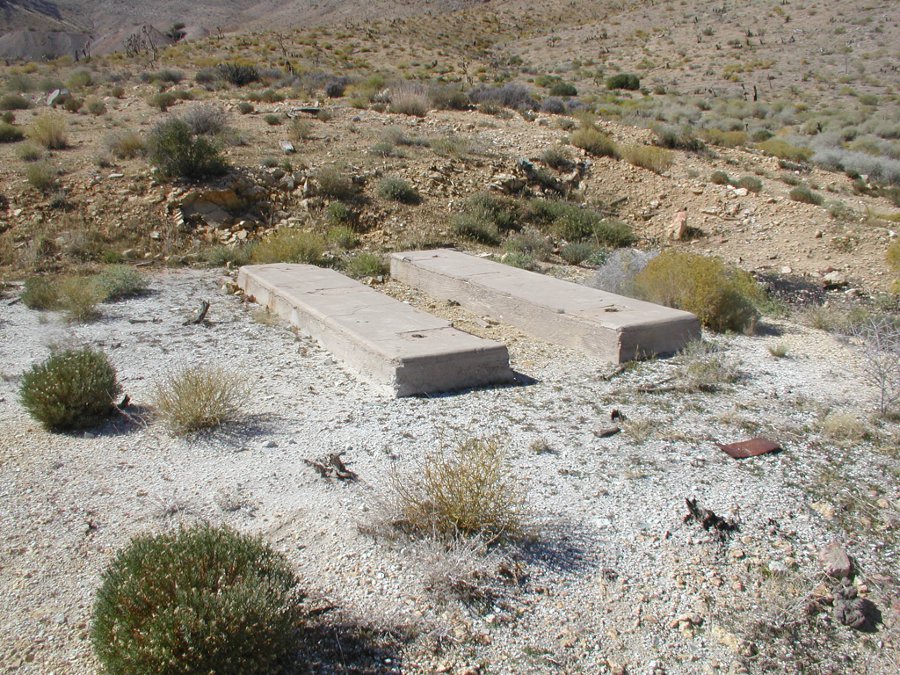 |
| Some more remnants close to the #3 shaft. |
 |
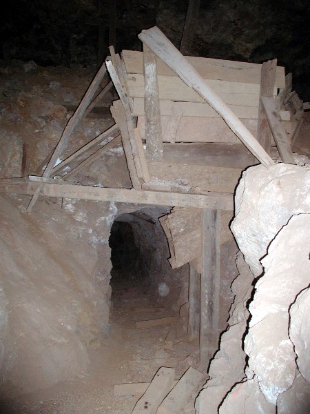
| Although this adit was fenced with a warning sign, it was collapsed. | 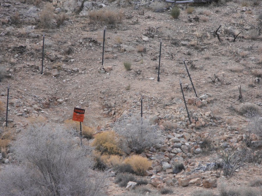 |
| We may have walked along the same drifts as did the miner in this picture. | 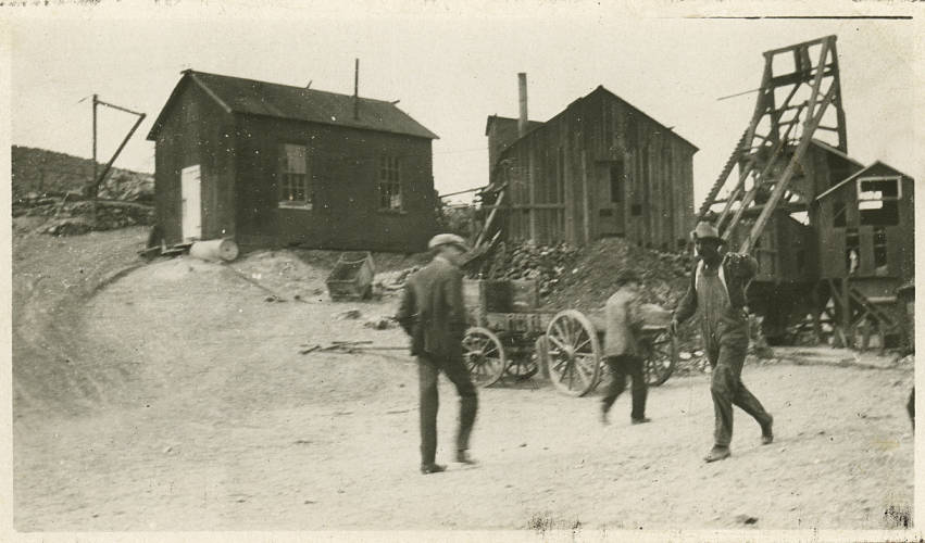 |
| The Yellow Pine even had its own narrow gage track that connected it to Goodsprings. This was no small operation. | 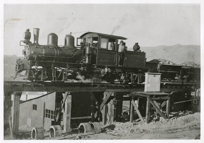 |
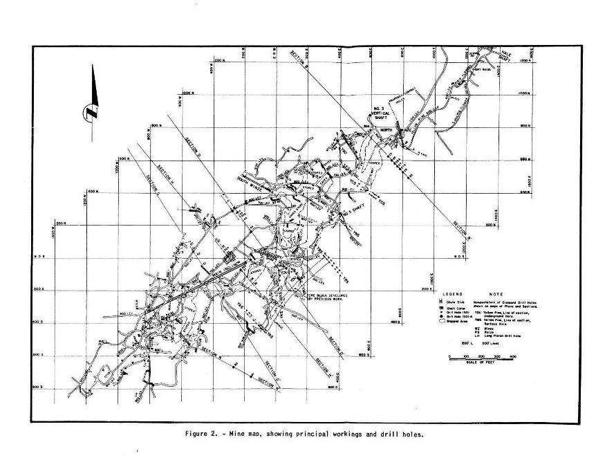
| We found this mine survey that showed us just how
extensive the
mine is. We were able to overlay this with a Google Earth print of the
ground surface. That allowed us to pinpoint each of the adits and
shafts. The main incline originally started at the surface and ended at the 900 level. Unfortunately much of the main incline has been lost to collapses, but we did find our way down to the remaining section! |
 |
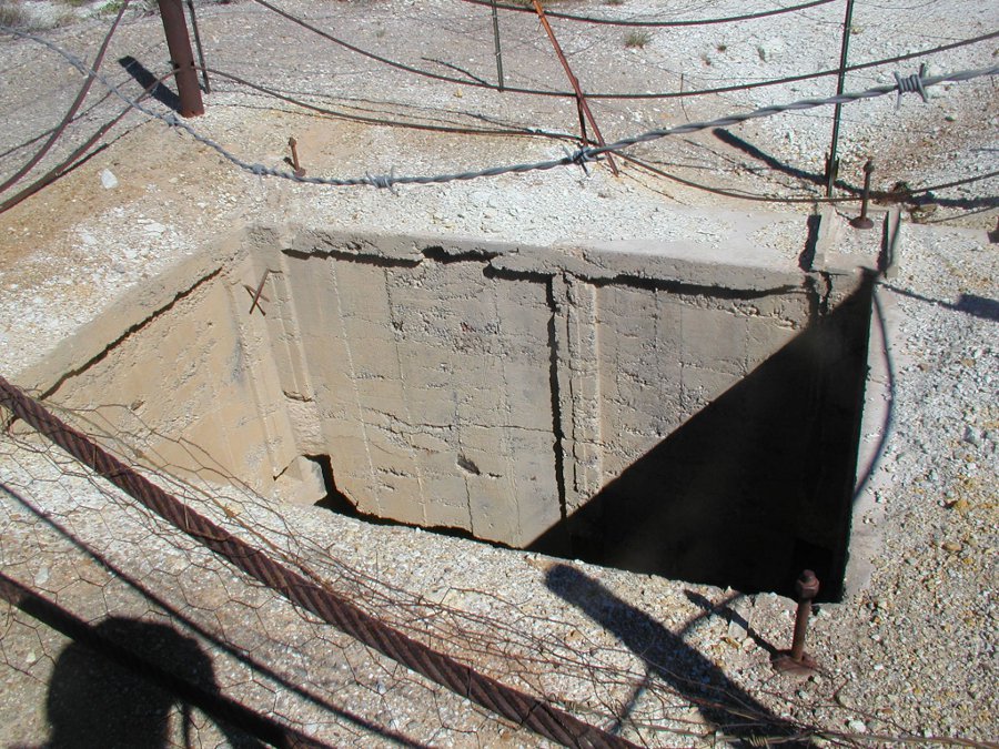
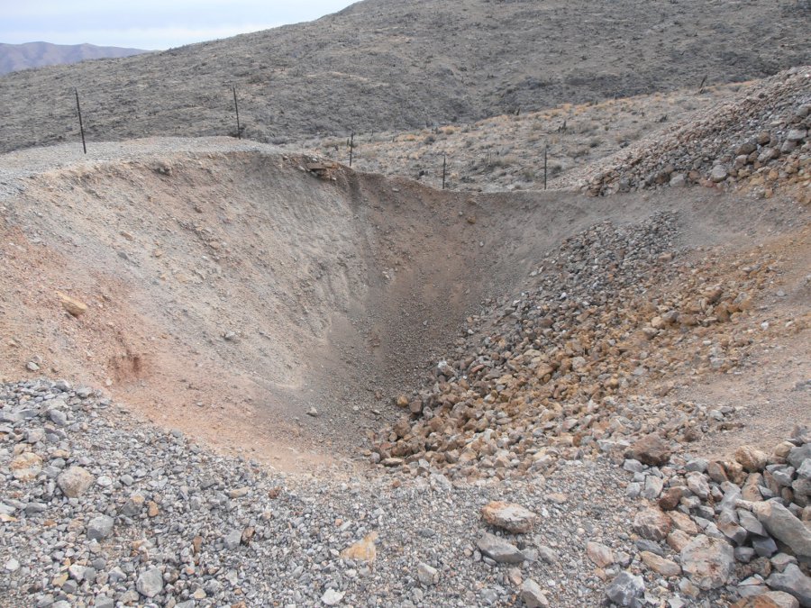
| In the tailings pile we found this pit that corresponds
to where
the main incline was located. This is the result of the large underground collapse
that closed off significant sections of the mine. We ran into blocked drifts at the 100 and 200 levels that appear to be part of this same collapse. |
 |
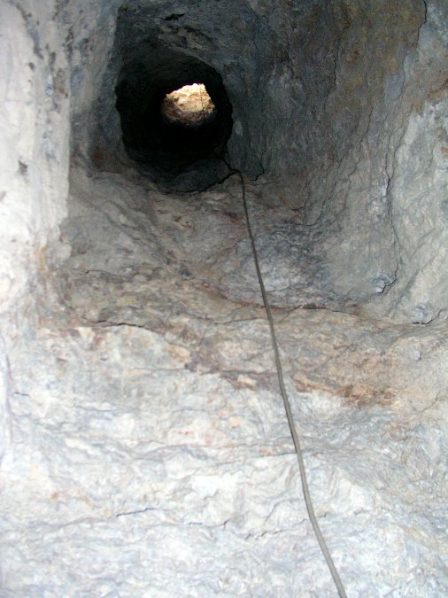
| So we found our way in. About a 50 foot rappel down
what appears to
be an air shaft. There is no indication of any structure ever existing
in this shaft. |
 |
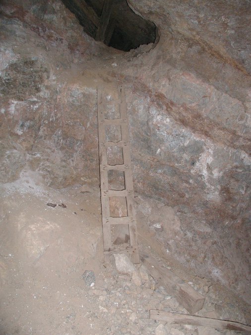
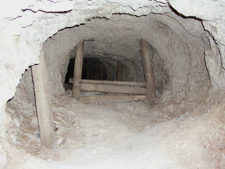
| A short ladder up into a series of stopes. Just to the
right of this photo is a 20 foot drop so a bit of care is warranted. |
 |
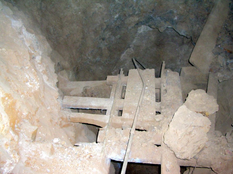
| This ore chute looks like it was constructed after the
main mining
operations had ended. Various indications of small scale mining are
present throughout the upper level. This is the drop I referred to in the photo above. A mis-step would result in a dangerous fall. |
 |
| With ever a keen eye, Tony finds relics that most of us
walk right past. |
 |
| This pieced together ore hopper doesn't show the same
craftsmanship found in other areas of the mine. |
 |
| We worked our way down an ore chute to an small
intermediate level. Looking back up, it is steeper than it looks. |
 |
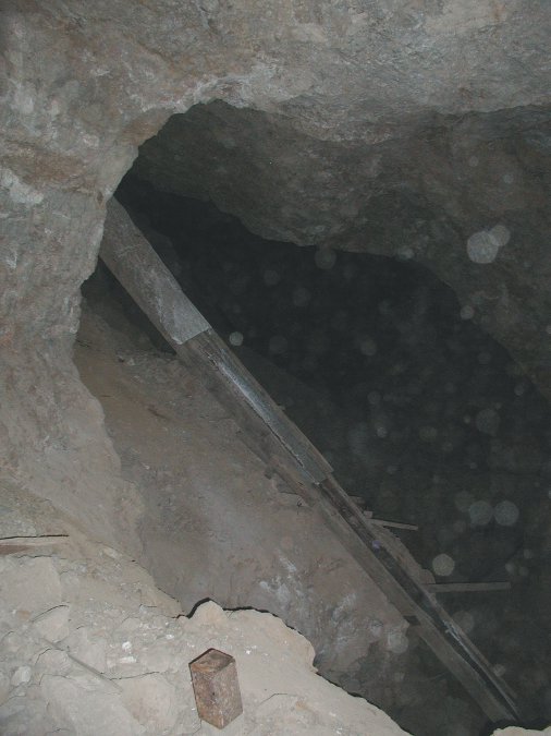
| Dead end. Or is it? This ore chute has a ladder that
led part way
down to the next level. Time to rig a rope and see if we can get down
to the next level. |
 |
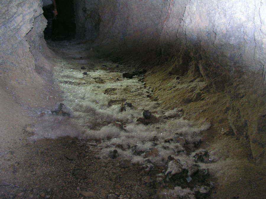
| We were surprised to find these little mineral "hairs"
along the drift. Quite beautiful. |
 |